
Forecasters Watch as Another Winter Storm Could Impact the Hudson Valley
As we enter the final days of fall, winter storms become more a reality when you live in the Hudson Valley.
But while parts of the region saw several inches of snow late Sunday, could the first major winter storm of the season be on the way? As of now, there are conflicting reports concerning the weather models. However, more and more forecasters are saying we could see some real heavy snowfall totals.
Snow Totals
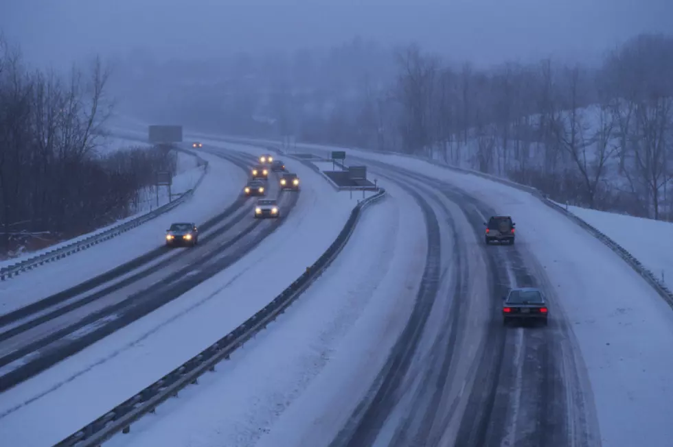
The Hudson Valley saw it's first real significant snow of the season Sunday into early Monday, as the area woke up to anywhere from 2 to 6 and half inches of heavy, wet snow. And while the area digs out from the snow, forecasters are already watching a potential storm that could affect the are by late week.
According to records, Poughkeepsie averages around 32.8 inches of snow per year.
This Week's Forecast
The Weather Channel says that temperatures should reach the upper 30s, under partly cloudy skies both Tuesday and Wednesday. This should provide most of the area with some sun to melt a bit of the recent snowfall. It's Thursday and Friday that meteorologists are watching closely, as another storm approaches from the west.
Another Winter Storm?
Hudson Valley Weather says that another storm will push across the country, arriving in the Northeast by Thursday. What forecasters aren't sure about is if this will be an all snow event, or a mixture of wintery precipitation. HVW says this could also transition from just rain to all ice by Friday.
Any sort of snowfall estimates are very preliminary, but as of now TWC is calling for 1 to 3 inches Thursday and additional 1 to 3 inches Thursday night. Friday could see another inch, while Friday night could see up to 3 additional inches, according to The Weather Channel.
Local blogger The Weather Dork says that some models are predicting over a foot of snow.
These numbers could go up or down as certainty grows once the storm nears. This could also amount to very little.
LOOK: The most extreme temperatures in the history of every state
Gallery Credit: Anuradha Varanasi
More From 94.3 Lite FM


