
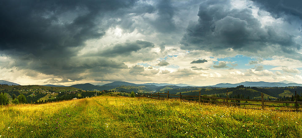
WEATHER: Cloudy With Rain and Snow To End 2021
As we enter the final week of the year, we can expect more clouds than sun to end 2021. There will be an off and on chance for precipitation through the week, which could vary between rain and snow depending on location. Some extended forecasts had anticipated the chance for snow by the weekend, though that outlook is still a bit up in the air.
Highs Monday will stay in the 30s, with mostly cloudy skies through the day. A Winter Weather Advisory goes into effect 7 PM Monday through 7 AM Tuesday, as freezing drizzle is expected across the area, with snow showers in the higher elevations. This could lead to some icy roads for the Tuesday morning commute. Highs Tuesday will be in the 40s with mostly cloudy skies again. There will be a slight chance for scattered snow showers overnight as lows will fall into the low 30s.
A slight chance for rain will stay through Wednesday as skies will remain cloudy. Highs will be in the 40s again and lows in the 30s. A better chance for rain will arrive by Thursday, as rain showers will persist off and on through the day. Some snow showers are possible again in the Catskills, according to Hudson Valley Weather. Skies should start to clear by overnight, with lows in the mid-30s. Friday will bring a brief break in the weather, with highs in the upper 40s and partly cloudy skies. The Weather Channel says we should expect more rain by Saturday, as showers will last through the night. Highs will be in the mid-40s and lows in the upper 30s, leaving it warm enough to keep the snow out in most areas.
Most extended forecasts remain a bit conflicting for the winter ahead. While some, like the Old Farmer's Almanac, are saying we should expect near-normal temperatures and precipitation, other forecasts are calling for below-average temps and above-average snow. One big factor could be the return of La Niña. La Niña is a phenomenon that produces cooler than average water temperatures in the tropical Pacific Ocean around the equator. It is not to be confused with El Niño, which is when warmer water temperatures occur in that part of the Pacific. Past La Niñas have produced colder, snowier winters across the northeast.
LOOK: The most expensive weather and climate disasters in recent decades
KEEP READING: Get answers to 51 of the most frequently asked weather questions...
TIPS: Here's how you can prepare for power outages
More From 94.3 Lite FM